What Is Geospatial Surveying And When Is It Used?
Geospatial data refers to information specifically derived from or pertaining to certain geographic locations. Its use enables professionals – across a whole range of fields – to better contextualise and understand the data they’re collecting and analysing. In a surveying context, this spatial information can be used for a more holistic and well-rounded view of the surrounding built environment. But what does surveying using this kind of data look like in practical terms? And why has it become so popular in recent years? The team here at Munday + Cramer, one of Essex’s foremost building surveying firms, wanted to look at the techniques involved in a little more detail.
What Makes Up Geospatial Data?
Broadly speaking, geospatial data constitutes the five following components (used either in isolation or in conjunction with one another):
- Vector Data: this comprises three separate types of data; point, polygon and line.
- Raster Data: raster imagery refers to satellite and aerial imagery, and occasionally scanned maps.
- Attributes: additional non-spatial data are referred to as attributes. This helps provide characteristics about the spatial data collected (what the land is used for, for instance).
- Geographic Coordinate System (GCS): a means of defining locations on the Earth’s spherical surface. These systems include an angular unit of measure, a datum and a prime meridian.
- Georeferencing: the process of assigning coordinates to vectors and raster images.
What Does Geospatial Surveying Involve?
As with other types of surveying, geospatial surveying is complex and multi-faceted. Whilst sharing many similarities with other surveying-based disciplines; the traditional mapping aspect of land surveying, for instance, it also incorporates a much broader range of disciplines on top of that. To successfully complete RICS’ own Geospatial Surveying pathway, for example, would-be surveyors have to display competencies in six of the following ten fields (on top of eight mandatory competencies in areas such as health and safety and data management):
1. BIM (Business Information Modelling) Management
BIM is a complex field (which we’ve written about previously, here) but at its core, it refers to the utilisation of complex computer software to create 3D models that subsequently hold vast quantities of data pertaining to a project, both in its design and operation. The use of a centralised system is a recurring feature of geospatial surveying.
2. Cadastre And Land Management
Cadastres, the first examples of which date back to Roman times, are recordings specifically representing real estate boundaries and land parcels. Cadastres typically include a map of the area described, details of ownership, tenure, value and more.
3. Engineering Surveying
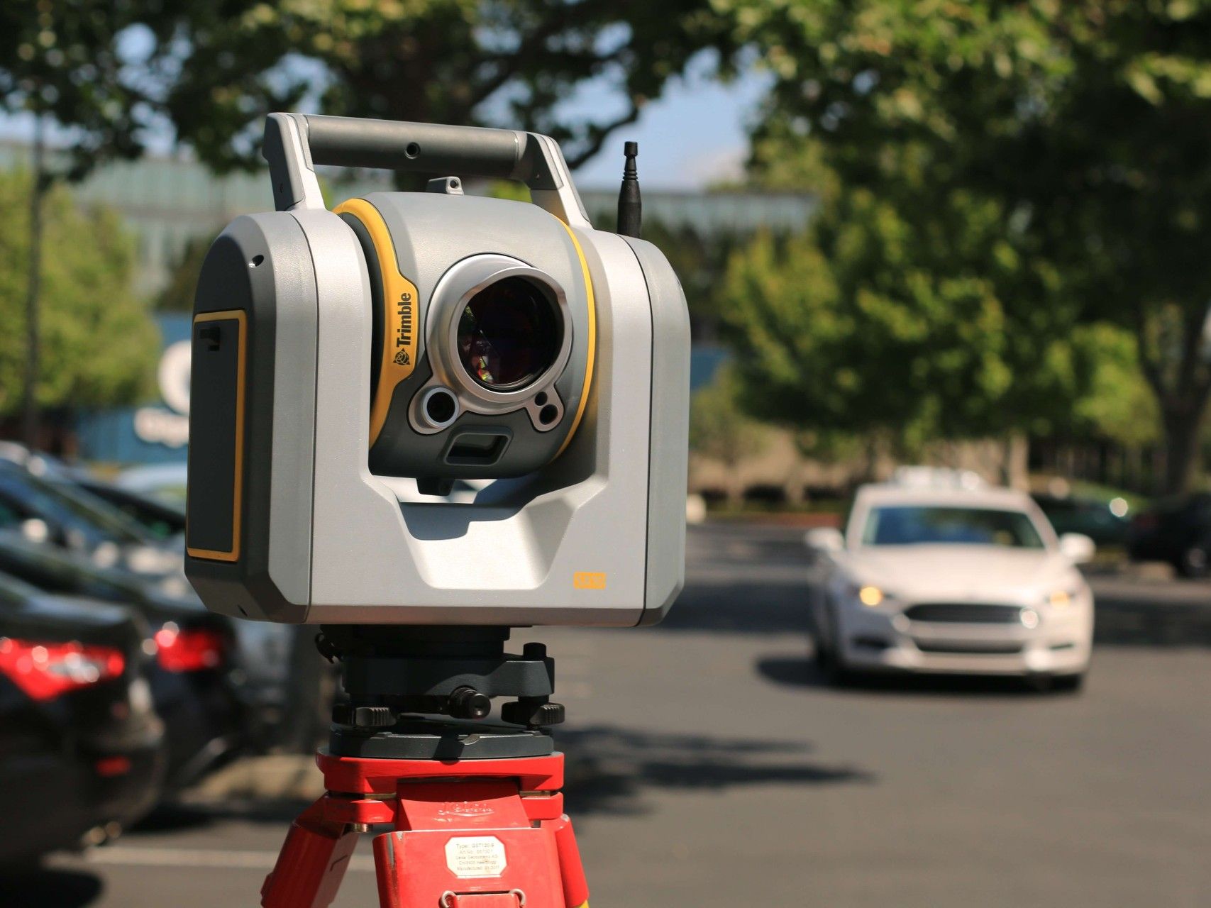
This form of surveying is probably what people typically think of when they think ‘surveyor’. With a GPS, digital level and electronic theodolite, engineering and land surveyors are able to paint an incredibly precise picture of the built and natural environment.
4. Geodesy
Geodesy is a field of mathematics revolving around the accurate measurement of the Earth’s geometric shape, its orientation in space and its gravity.
5. GIS (Global Information System)
GIS’ are frameworks through which spatial data can be interpreted, modelled and analysed. In many ways, global information systems can be thought of as the geospatial equivalent of BIM, using its centralised framework as a basis from which all other data and work can then branch.
6. Legal/Regulatory Compliance
With new technologies springing up seemingly daily, the number of regulatory and legal issues surrounding data privacy and shared information is also skyrocketing. A constantly evolving knowledge of the latest regulations is therefore essential for geospatial surveyors.
7. Mapping
An integral part of any surveyor’s skillset is their ability to accurately map, whether that in the form of land or building plans. Geospatial data enables more comprehensive and complex mapping capabilities than ever before.
8. Measurement Of Land And Property
Precision and accuracy have both been central to all forms of surveying for as long as it has been a profession. The utilisation of geospatial data allows for more accurate recording and, just as importantly, easy correction should mistakes ever be made. It’s worth viewing the GIS in the same way we do BIM, that’s to say, that they’re both highly organic and fluid frameworks. The result of this is that data only ever becomes more accurate as time goes on.
9. Property Records/Information Systems
Accurate record-keeping is essential in the preservation, maintenance and development of our environments.
10. Remote sensing and photogrammetry
This is the process whereby accurate information is obtained from non-contact imaging and various other sensor systems. This tends to refer to information captured from the huge number of satellites that now orbit the Earth.
Applications And Benefits Of Geospatial Surveying
Applications
Geospatial surveying has virtually limitless applications. In fact, the point has now been reached whereby the discipline’s limiting factor is the rate at which technology can develop. It can be used to help with infrastructure management, land management and reform and urban and regional planning to name but a few.
Benefits
Geospatial surveying is drastically changing the way in which we view and understand our surrounding environments. The highly sophisticated technologies involved within geospatial surveying enable surveyors to drastically streamline and optimise their workflow by directly transferring data from field instruments to a centralised geodatabase (the GIS). It leads to better, smarter decision-making, more accurate and reliable records as well as a more optimal management of land use, overall.
Contact
Geospatial surveying represents a modern surveying solution for modern times. Ultimately, surveying using geospatial data results in more accurate results with less work required. What’s not to like? So, If you’d like to find out more about our building surveying services, then get in touch! Contact Munday + Cramer today on 01245 326 200 or by emailing us at info@mcessex.co.uk.
Building Surveying, Building Surveyors in Essex, Building Surveyors in Kent, Building Surveyors in London, Chartered Building Surveyor, Geospatial Surveying

Comments are closed.