A Look At The More Complex (And Obscure) Surveying Technologies
It goes without saying that technology has come on leaps and bounds over the last few centuries. Were you to suddenly find yourself in the boots of an 18th century surveying professional, your main tool would’ve been a telescope, and a primitive one at that. Fast-forward to the present day, and the surveying world features more acronym-laden technologies than you can shake a stick at. The team here at Munday + Cramer, a chartered building surveying firm in Essex, wanted to look at some of the most advanced surveying technologies used today – one of which having even been used in… race-car driving?
Radar
Though not a new technology, radar (“Radio Detection And Ranging”) continues to be improved even today. The (now well-established) technology is used to determine an object’s range, angle and velocity. It works when radio waves are emitted from a transmitter and hit an object. These waves are then reflected and picked up by a corresponding receiver. Although radar’s main applications have tended to be military in nature, it’s also used in surveying circles, and particularly when we look beneath our feet…
Ground-Penetrating Radar (GPR)
Used by archaeologists and palaeontologists alike, ground penetrating radar is an imaging technique. It uses radar pulses aimed at the ground to build up a picture of objects lying beneath the surface. When these pulses encounter a boundary between materials (such as a buried artefact, for instance) they’re reflected, and in this way, a remarkably accurate picture of the sub-surface can be built up.
One of the more remarkable finds to be discovered using GPR was back in 2016, when a team of archaeologists unearthed what are thought to be Henry I’s remains. The former King of England (who reigned until 1135) was found (if they indeed are his remains) under a car park not unlike Richard III’s remains which had been found four years previously – though not, it’s worth noting, through the use of GPR.
In a building surveying context, this form of radar can be used for construction detail surveys, concrete mapping surveys, chimney flue location surveys, floor slab surveys, utility surveys and foundation investigation surveys.
LiDAR
LiDAR (standing for Light Radar) is, as the name might suggest, a form of radar geared around using either ultraviolet, visible or near infrared light waves. It’s used extensively to map DTMs (Digital Terrain Models) and DEMs (Digital Elevation Models) – digitally-produced relief maps of the terrain or the built environment. Just as with GPR, however, LiDAR’s applications go well beyond simply surveying. And again, just like GPR, it’s use is being seen within the field of archaeology. Because of its penetrative features, LiDAR is able to map features below deeply forested canopy. When looking for larger features – the kind more indistinguishable to the naked eye – this mapping technique is perfect. In 2019, for example, a Bronze Age ritual ‘ring cairn’ was discovered in the Forest of Dean, thanks to a LiDAR survey.
Drivers… Start Your Engines!
Now, we mentioned racing cars at the start, and it’d be remiss of us not to follow up on that… In the July of 2019, a team of researchers from the University of Graz named Autonomous Racing Graz (ARG) competed in the Roborace series. These races look to demonstrate the very best of autonomous technology within the motoring industry.
For a self-driving car and its autonomous driving algorithm to get around the track in the fastest possible time, a process called localization is required. In short, a way for the vehicle to orient itself. Team ARG utilised LiDAR sensors on their vehicle to help it map the track in real-time (as opposed to GPS) and the results were remarkable; in the two races they took part in, they registered 1st and 2nd place finishes!
3D Laser Scanning
3D laser scanning surveys make full use of LiDAR technology; they’re amongst the quickest and most detailed ways of recording a building’s spatial details. There are two types of scanner – phase-based and pulse-based – these surveys can be used pre, during and post-construction. Pre-construction, site conditions can be confirmed. During construction, progress checks can be made. Post-construction? A building’s details can be accurately checked and verified against the building plans. This technology is useful outside of the construction process, as well; 3D laser scanning can be used whilst undertaking condition surveys as well as developing asset management plans. This surveying technology has helped drastically improve the accuracy of construction projects across the world, and it’s only getting better.
UAV Aerial Imagery
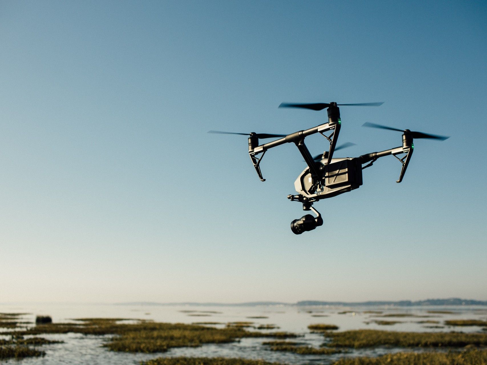
For most people, their connection to drone technology (if any) is most likely a small remote-controlled Christmas present. Just as likely is that same drone will end up stuck in the trees by the middle of January. Over recent years, however, drone technology has become increasingly sophisticated. It now sees semi-widespread use within the building surveying industry.
In fact, we’ve previously written at length about the topic, but in brief, the quality of cameras on today’s drones can provide 4K imagery with incredible versatility and manoeuvrability. What’s more, most drones can also be attached with infrared cameras enabling thermal efficiency surveys. Some top-of-the-line UAVs even have LiDAR capabilities, as well.
Contact Us
Though are surveyors may use conventional means of surveying, they’re by no means any less qualified! If you’d like to find out about our building surveying services, then get in touch! Contact Munday + Cramer today on 01245 326 200 or by emailing us on info@mcessex.co.uk.
Building Surveying, Building Surveyors, Building Surveyors in Essex, Building Surveyors in Kent, Building Surveyors in London, Surveying Technologies
