Drones Have Become A Mainstay Of The Building Surveying Industry – Here’s Why
Every so often, a technology will come along that has a truly disruptive effect on an industry’s shape; a technology which not only tackles a sector’s existing limitations, but dismantles them altogether. The proliferation of drone technologies within the world of building surveying, in recent years, is one such disruptive technology.
These unmanned aerial vehicles (UAVs) may often be small, but the impact they have can be quite profound. The team here at Munday + Cramer, whose firm boasts a renowned building surveying department in Essex, wanted to examine the technology’s current applications, as well as what we might expect to see in the future from these winged (though, as it turns out, often not actually winged) helpers.
Types Of Drone
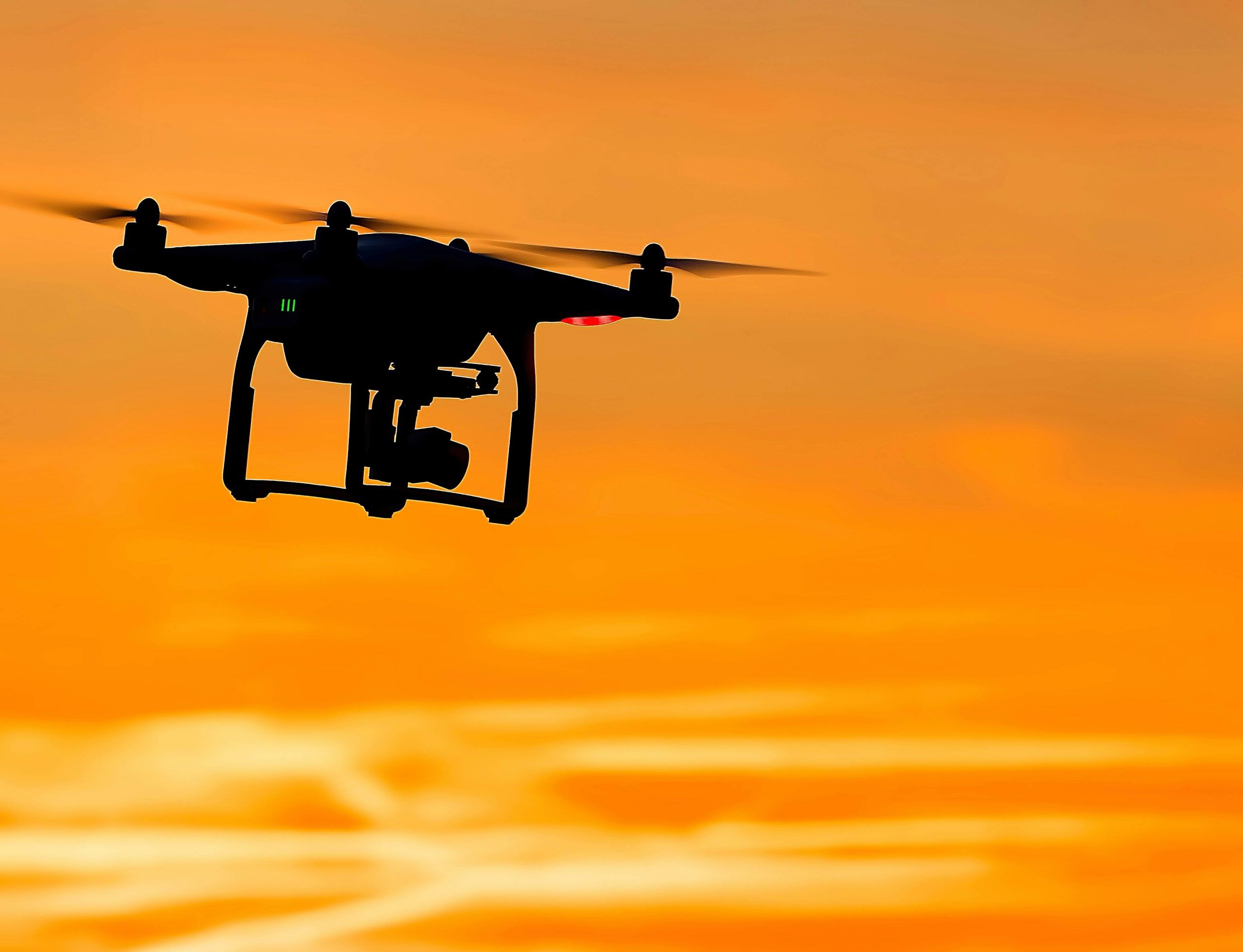
There are several different kinds of drones, ranging from rotor varieties to winged types – think, a very miniature plane. Surveyors typically tend to use rotor-type drones, and the most commonly used variant of these is the quadcopter (four rotors). Drones by manufacturer DJI are particularly popular thanks to their robust build and high-spec on-board technology.
Applications Within Building Surveying
Building Surveys
The most obvious application is building surveys. By utilising drones, surveys can be carried out much more quickly and cost-effectively, without compromising on quality. Hard to reach areas with complex access issues would often require careful planning and potential scaffolding, which can be costly. Drones allow surveys to be carried out at a fraction of the cost and in a matter of minutes thanks to the extreme manoeuvrability and control of even the most standard of drones now.

Thermal Assessments
Drones can be fixed with a myriad of sensors and inspection tools; from state-of-the-art optical cameras to optical gas imagery cameras (used in oil and gas settings). Asides from the bog-standard optical camera used for correspondingly bog-standard building surveys, there’s one kind of drone sensor used more than any other by building surveyors, and that’s the thermal sensor.
The study of thermography can be applied to the built environment in order to determine energy inefficiencies and ascertain whether a building complies with BREEAM (Building Research Establishment Environmental Assessment Methodology). With the calibration of these on-board infrared cameras becoming ever more fine-tuned, drones really do provide the optimal solution in highlighting thermal inefficiencies within the built environment.
Drone Compliance
Clearly, the need for compliance in a building surveyor’s utilisation of drones is of paramount importance. One need only look at problems caused by errant UAV pilots flying their drones too close to major airports, to realise just how quickly problems can arise if surveyors don’t keep abreast of the latest and most up-to-date compliance legislature
In the UK, drone usage is regulated by the Civil Aviation Authority (CAA). This industry body, whose approach to safety standards is famously stringent – and quite rightly so, finds itself locked in the same kind of bureaucratic game of catch-up that any technology-reliant sector does. Amendments are constantly being made in order to keep up to date with the frantic pace of drone development. There are, however, some more general areas of compliance by which all surveyors must abide should they wish to utilise drones in their day-to-day work. These include:
- Drone pilots must be registered with the CAA and subsequently complete an online competency test before they can use their vehicle (for either recreational or commercial purposes).
- Small unmanned aircraft (SUAs) with surveillance capabilities (in other words – a camera) must not be flown within 30 metres of any other person during take-off or landing. Nor can it be flown within 50 metres of any person, whilst in-flight.
- SUAs cannot be flown within 50 metres of any vessel, vehicle or structure not under control of the SUA operator.
Good practice pertaining to drone data protection includes carrying out a PIA (Privacy Impact Assessment) and a pre-flight checklist. A more comprehensive list of drone compliance measures can be found here. A failure to adhere to these compliance measures, which are underpinned by national law, can result in hefty criminal charges.
Future Applications
How, then, might drones be used by surveyors in the future? Well, it’s an exciting question, but certainly one possibility is the adoption of drones within BIM (Business Information Modelling). Within construction, BIM is being used to head towards a more integrated and sustainable future. A future in which the built environment is serviced in a more efficient and optimal way than ever before.
Drones have the potential to aid in the production of ‘hyper lapses’, for instance, and in the monitoring of RFID (Radio-Frequency Identification) tags across a construction site; the use of drones in managing these tags (which are already being shown to ease significant traditional pain points throughout a site’s lifecycle) will help streamline the development of BIM even further. These concepts, which even a few years ago would have seemed abstract in nature, are now very much a reality; this is no small part thanks to advancements in technologies such as drones.
Contact Our Building Surveying Team
There’s no doubt that building surveyors have had their work lives made infinitely easier through the adoption of drone technologies. There shows no signs of this changing anytime soon. So, if you’d like to find out more about our Essex-based building surveying service, then get in touch! Contact Munday + Cramer today on 01245 326 200.
Building Surveying, Building Surveyors in Essex, Building Surveyors in Kent, Building Surveyors in London